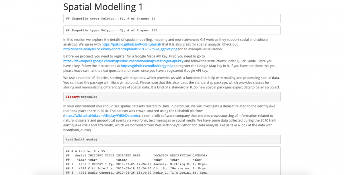
Lesson 7 introduces spatial modelling, mapping and more advanced Geographic Information System mapping, such as location clustering, point pattern analysis, quadrat counting and Choropleth mapping.
Click on the image below (or here) to access the .html printout of the whole lesson.
